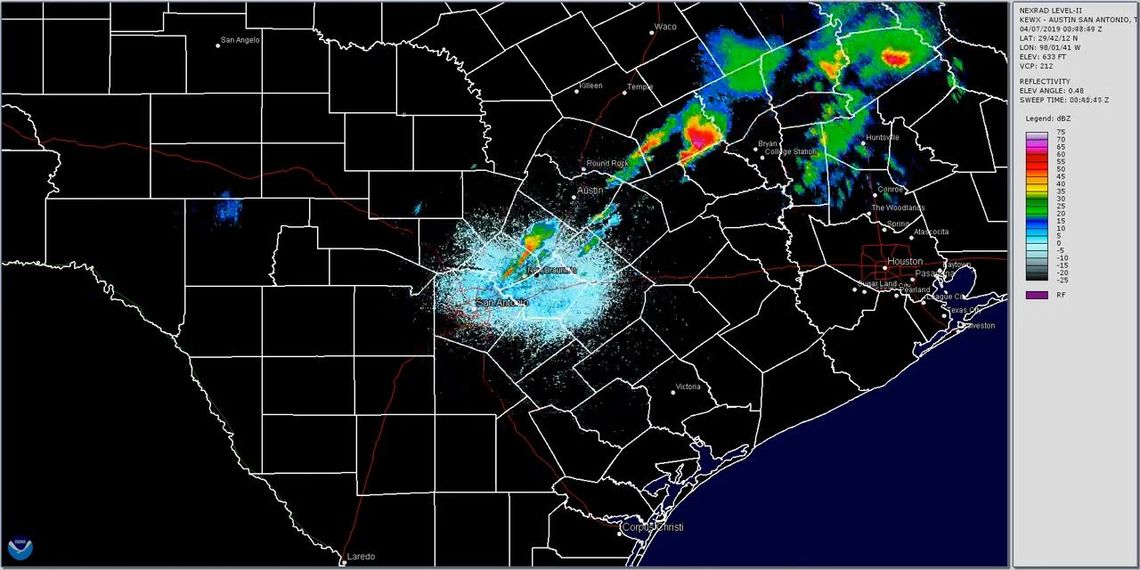
This weekend brought some wild weather that prompted severe weather watches and warnings and event cancellations throughout Central Texas.
Eric Platt, meteorologist with the National Weather Service Austin/San Antonio office, said the storms were the first major severe weather event of the season.
“Springtime certainly can be active across this area,” he said.
According to the NWS office’s 72-hour precipitation report, San Marcos received 2.4 inches of rain over the weekend, while Dripping Springs got the highest total in Hays County, with 2.89 inches. The NWS office received numerous reports of hail with Saturday night’s storm. At 8:53 p.m., Platt said, there was a report of penny-sized hail in downtown San Marcos. At 9:05 p.m. Saturday, there was a report of quarter-sized hail downtown. Also at 9:05 p.m., the NWS received a report of ping pong ball-sized hail – about 1.5 inches in diameter – about a mile northeast of San Marcos, and at 9:25 p.m. there was a report of ping pong ball-sized hail at River Road and Sturgeon Street. Half-dollar-sized hail – about 1.25 inches in diameter – was reported just south of town at 9:10 p.m. Saturday.

In some areas of town, hail was bigger than a quarter. Photo by Furly Travis
Platt said the current pattern of warm, sunny weather will last through most of this week.
“We’re going to have some dry and warm weather for the next couple of days,” he said, but a storm system that looks like it will make its way into the area this coming weekend could be another strong one.
For those interested in learning about severe weather and how to report it to the NWS office, a Skywarn Basic Training class will be offered from 6-8 p.m. Thursday, April 25, at San Marcos Fire Station #5, 100 Carlson Circle. No pre-registration is required.


